How to create a sense of local centrality by establishing large-scale industrial buildings in small communities?
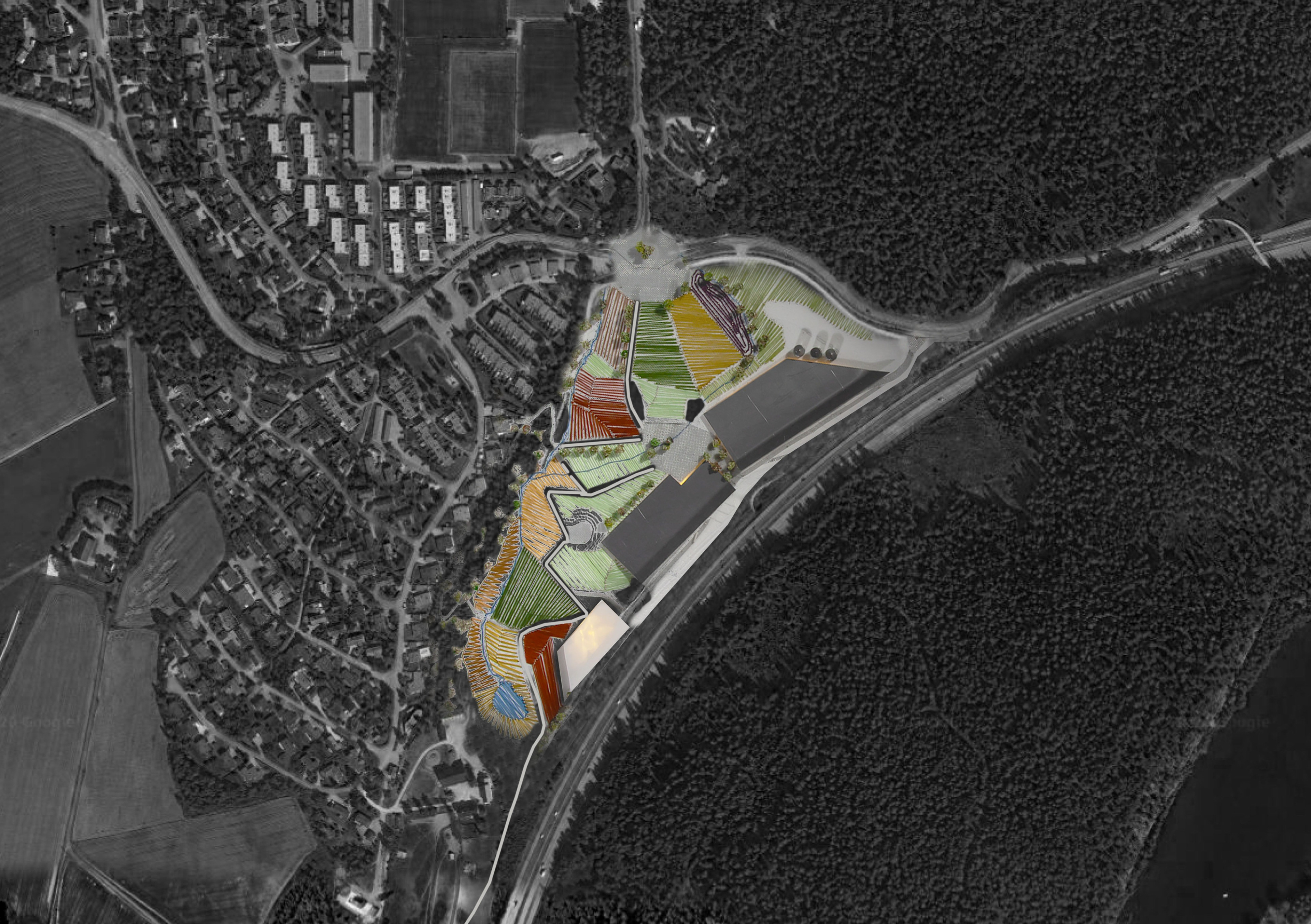
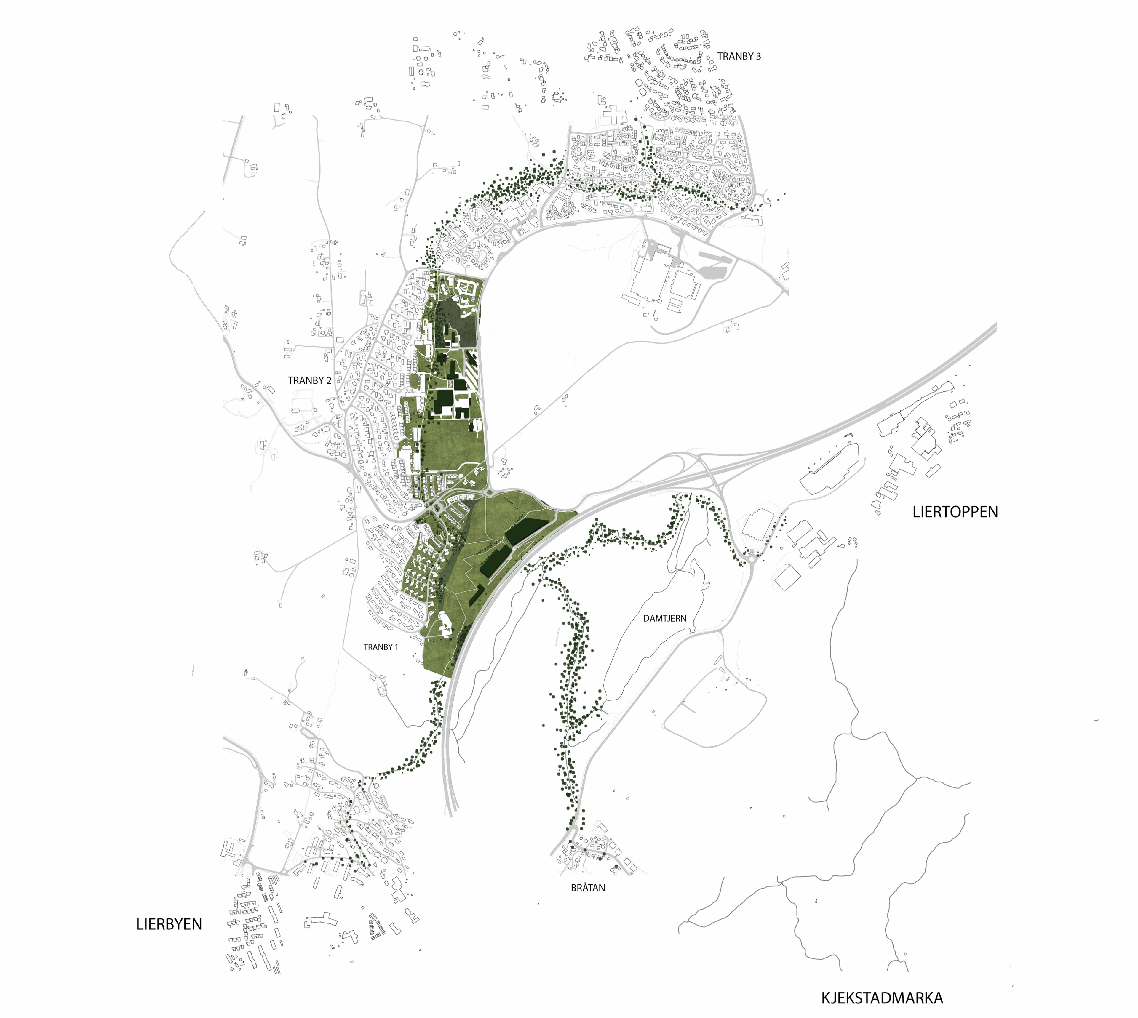
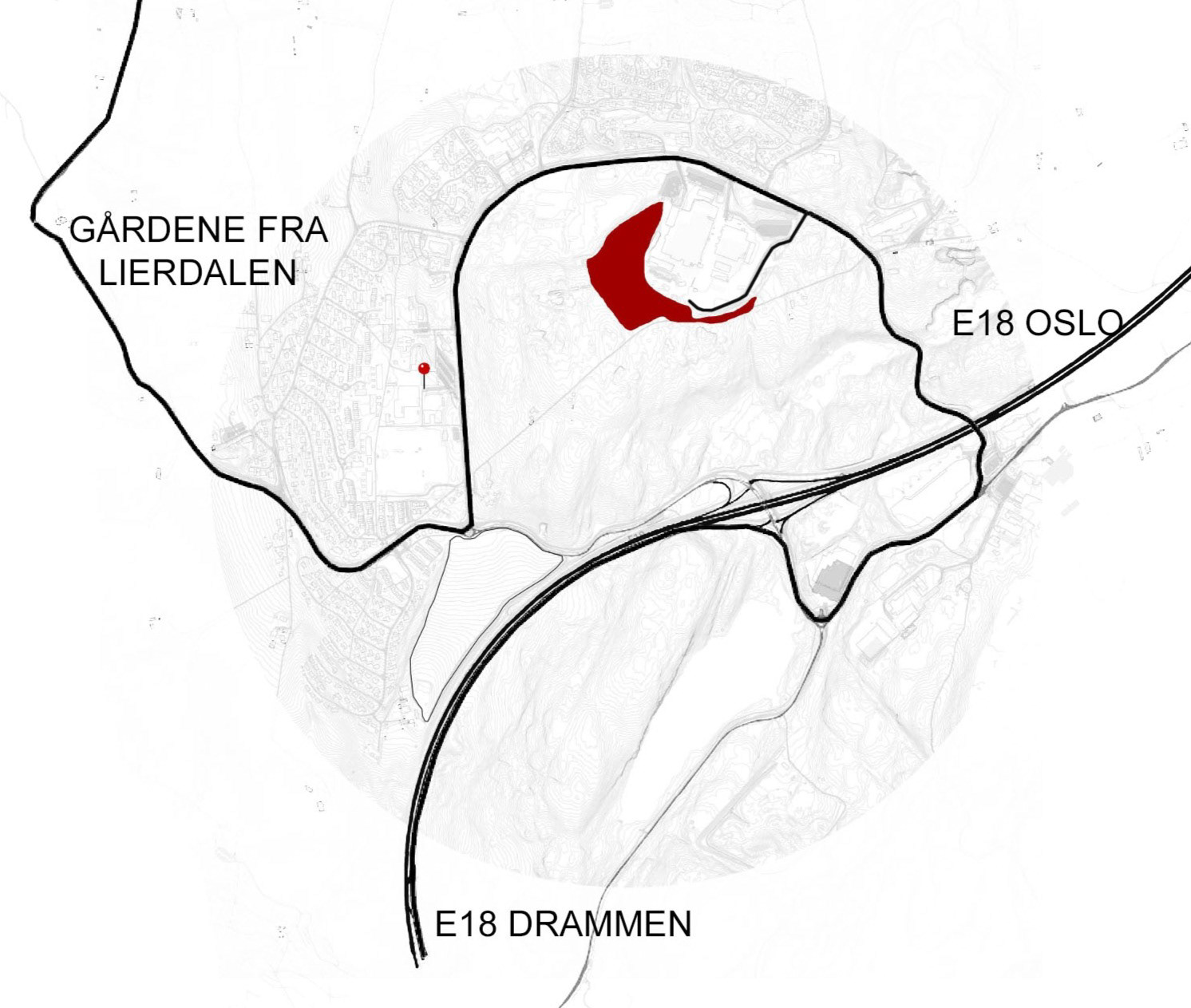
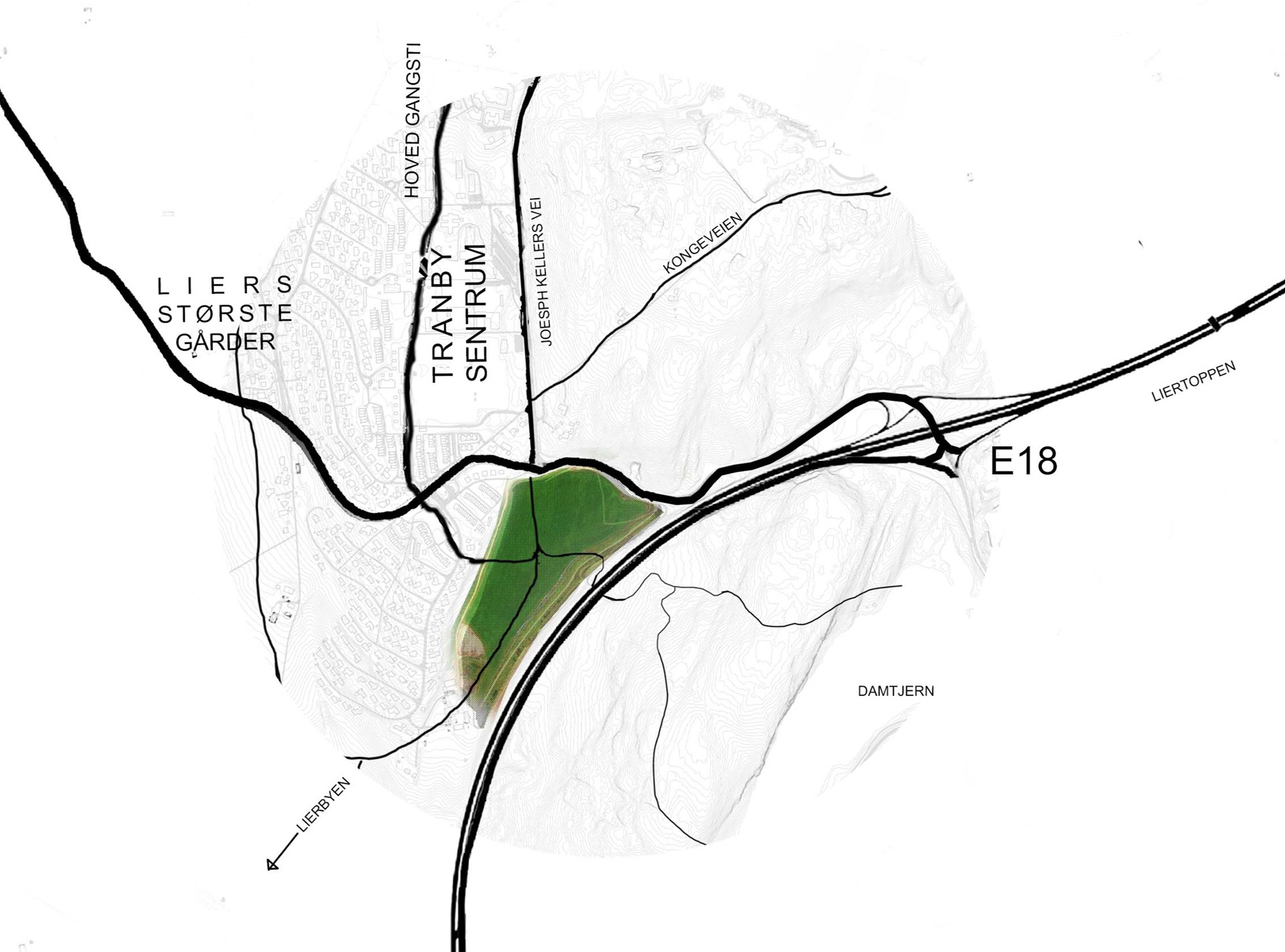
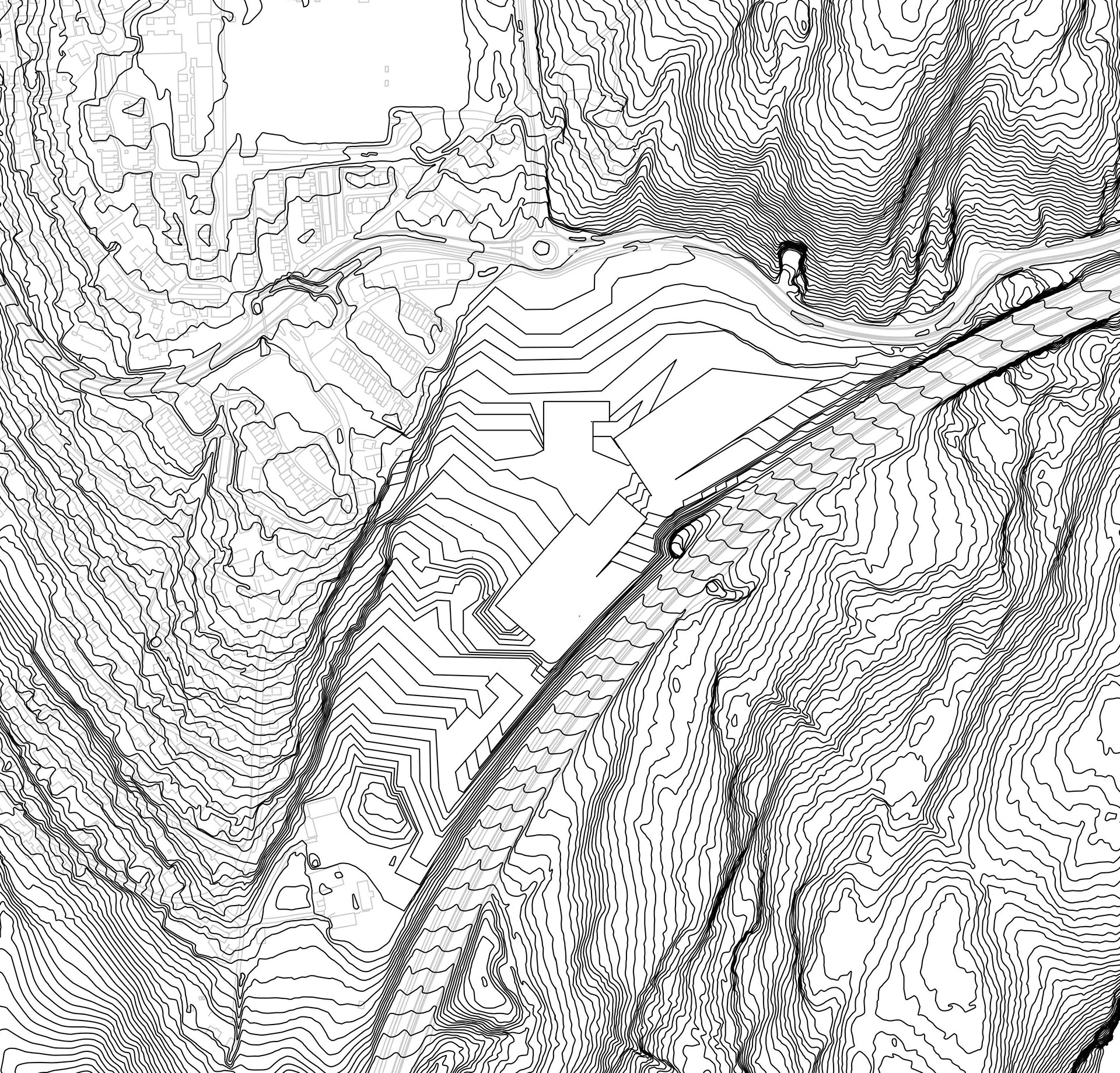
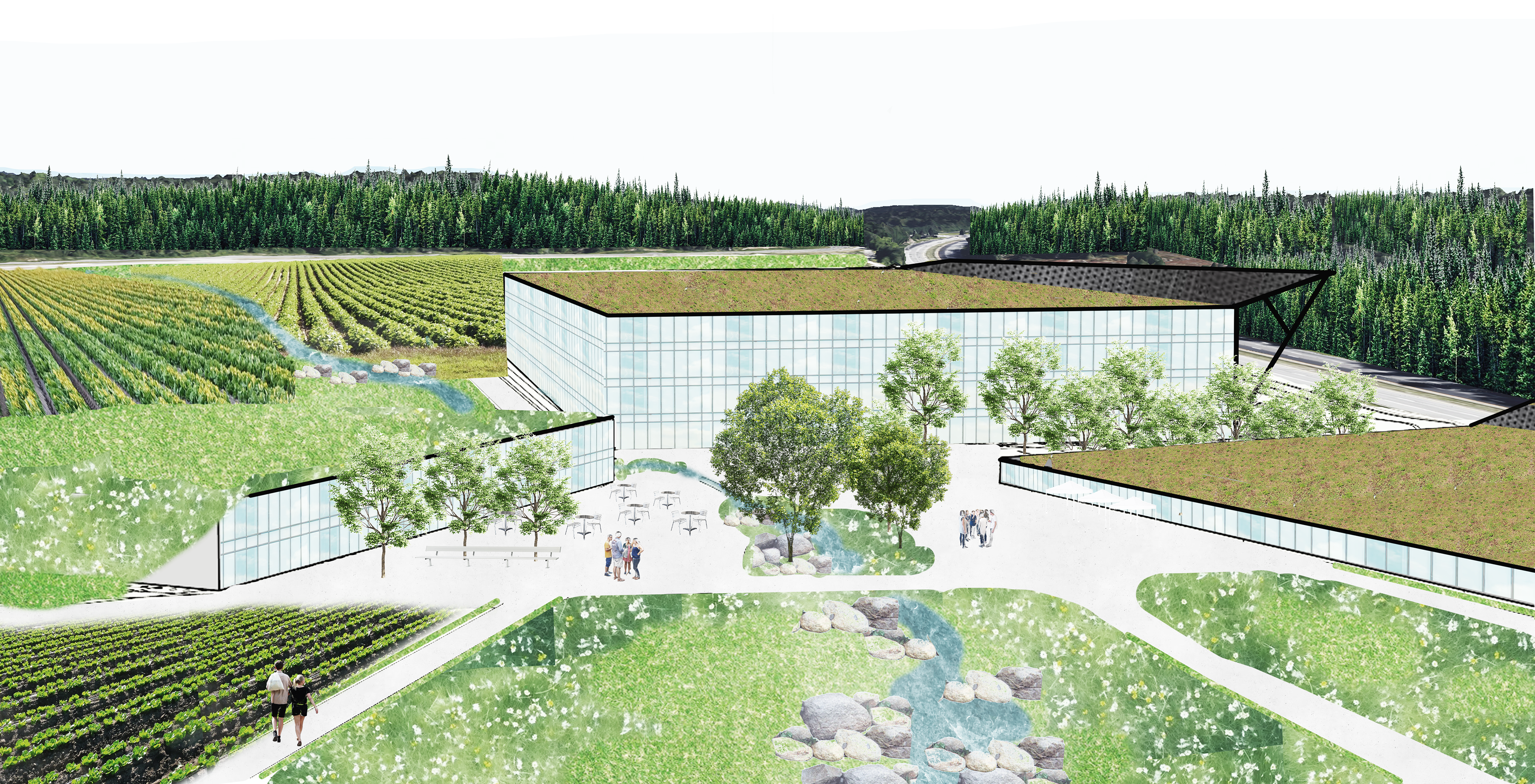
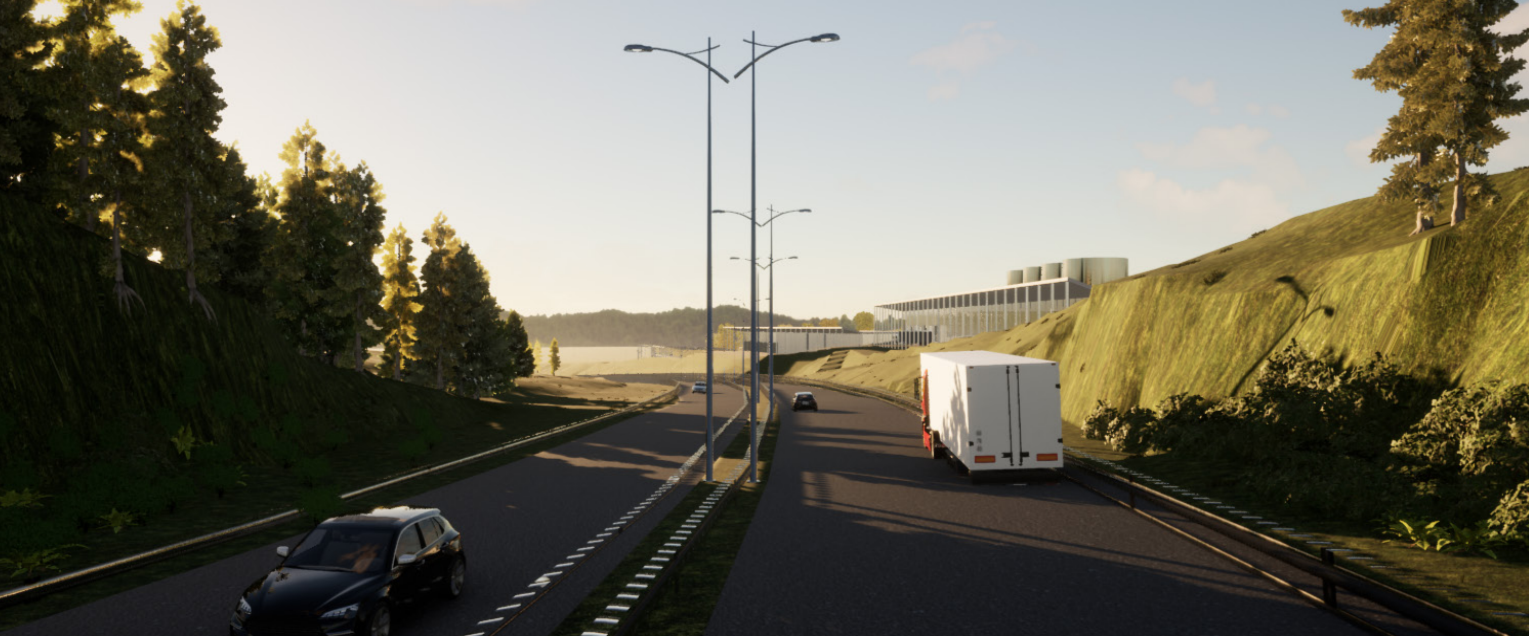
Åkerparken is a project that addresses the urge to look at how corporate investments better can get involved in community methodology. Our initial interest came when looking to the proposed plan for BAMA (vegetable and fruits distributor) inside a recreation forest with historical value. Instead we proposed the Skjeggerud-filling, a field between Tranby village and the highway E18. The site shows signs of contamination so the need for purification is evident, but also the location of the site is logical as it shows relevance to Tranbys urban fabric and the possibility of showcasting towards the highway.
In need of a more strategic placement for social development
Putting pressure on corporate developments in strategic places can improve the outcome for both developers and locals as the standard for quality rises. With this location the project contributes to the expansion of Tranby center.
It also connects Tranby better to the shopping center, surrounding towns and hiking opportunities. With the right programming, “Åkerparken” can become a much needed meeting point.
It also connects Tranby better to the shopping center, surrounding towns and hiking opportunities. With the right programming, “Åkerparken” can become a much needed meeting point.
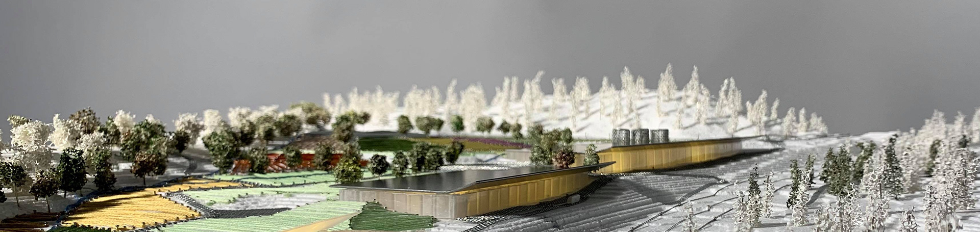
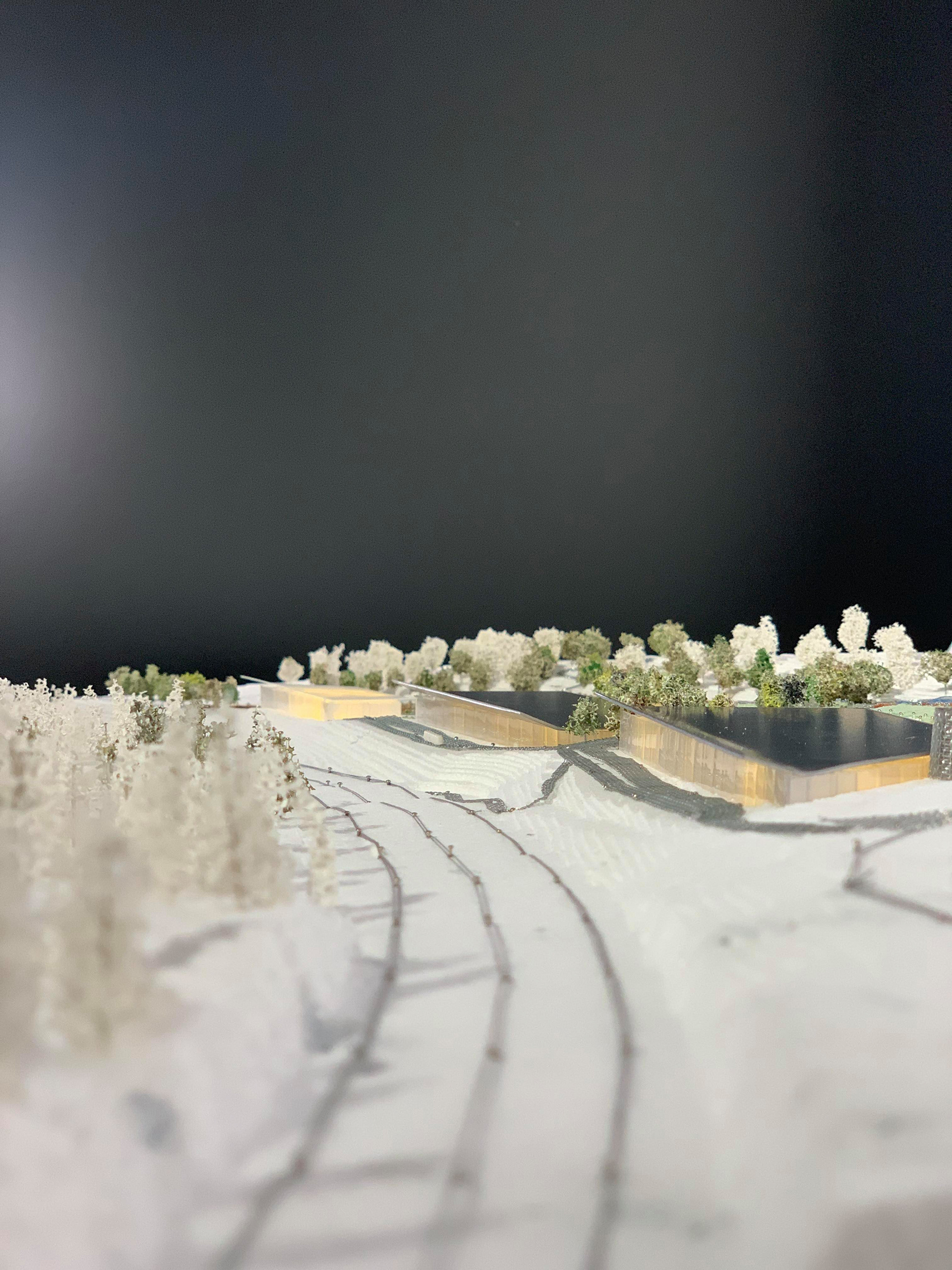
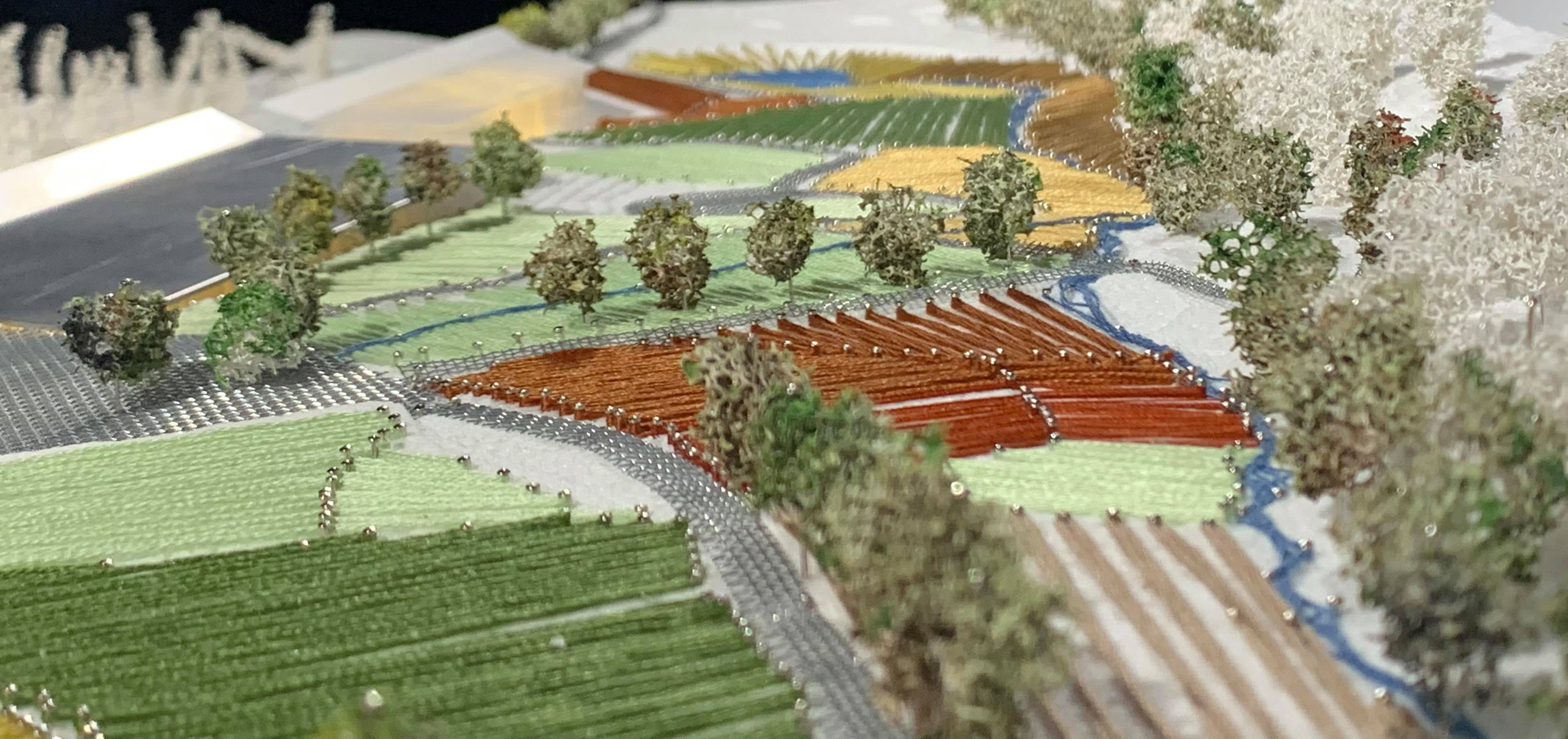
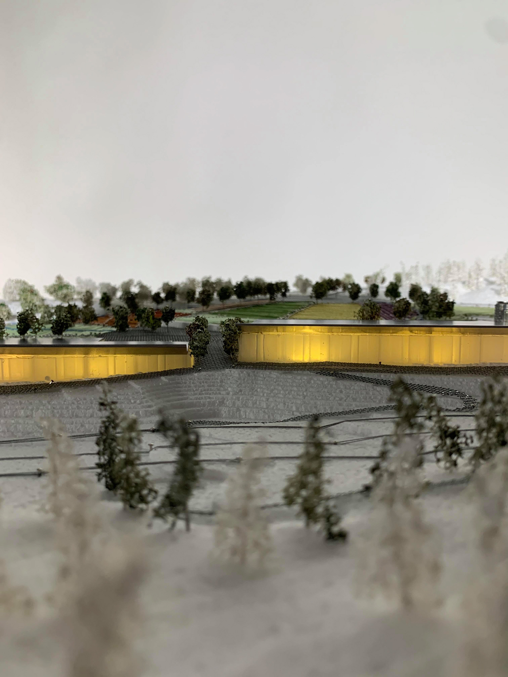
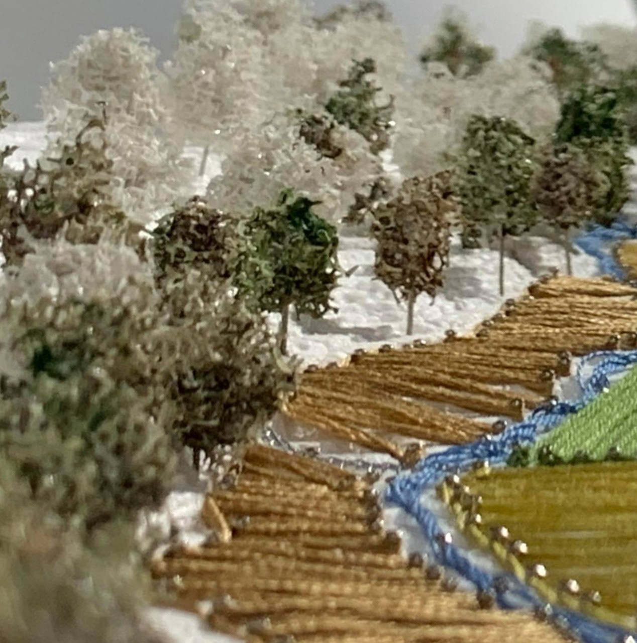
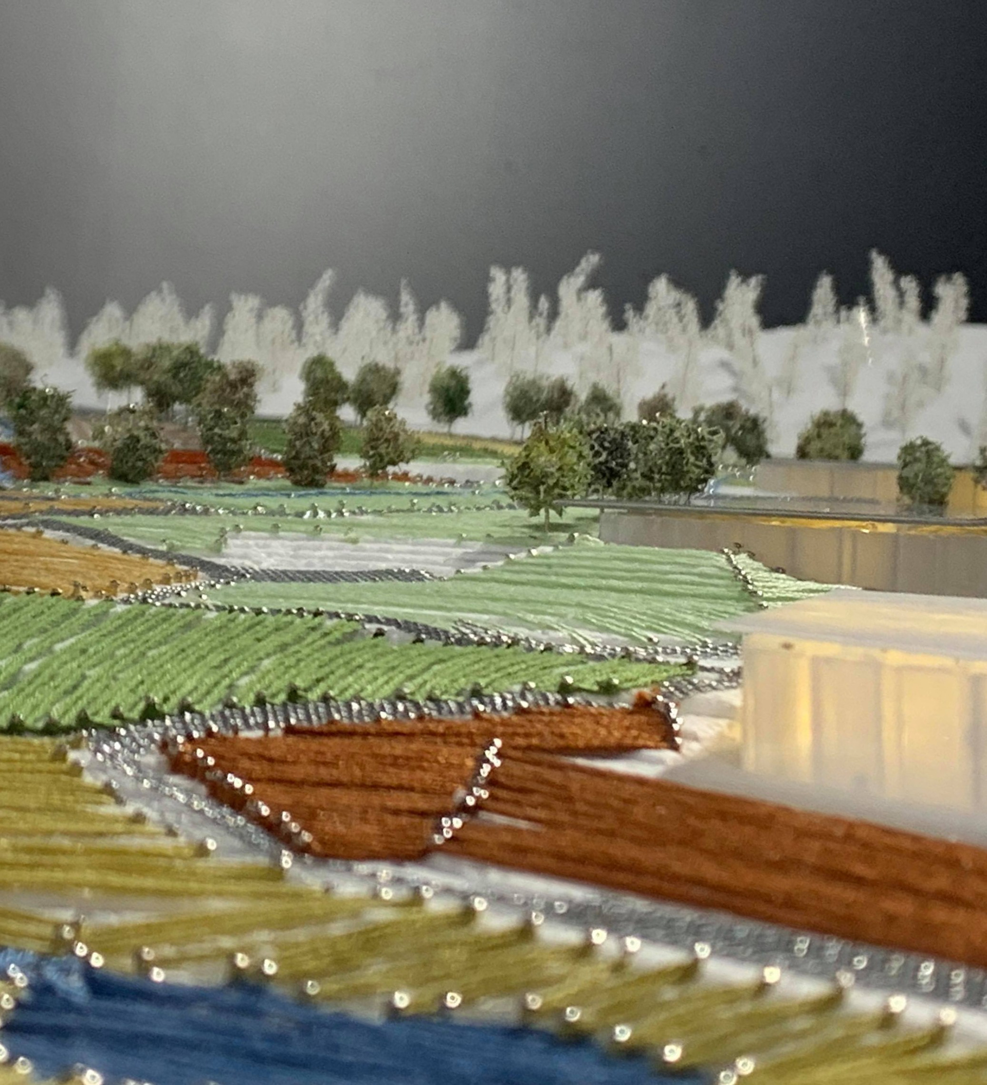
Agricultural strategies have been used for the design of the outdoor areas. The park is divided into plots of acres and plots of grasslands so as not to seem too massive, and to depict the Lier landscape.
A former landfill
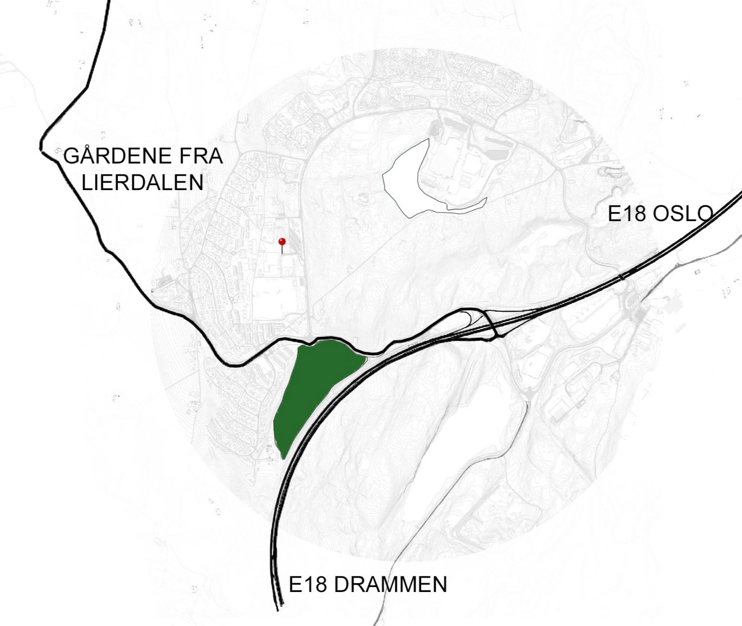
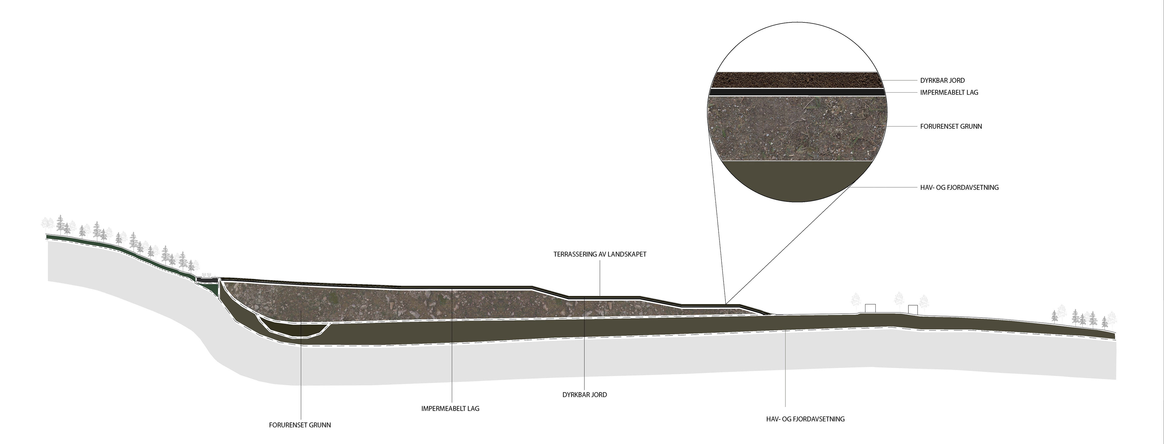
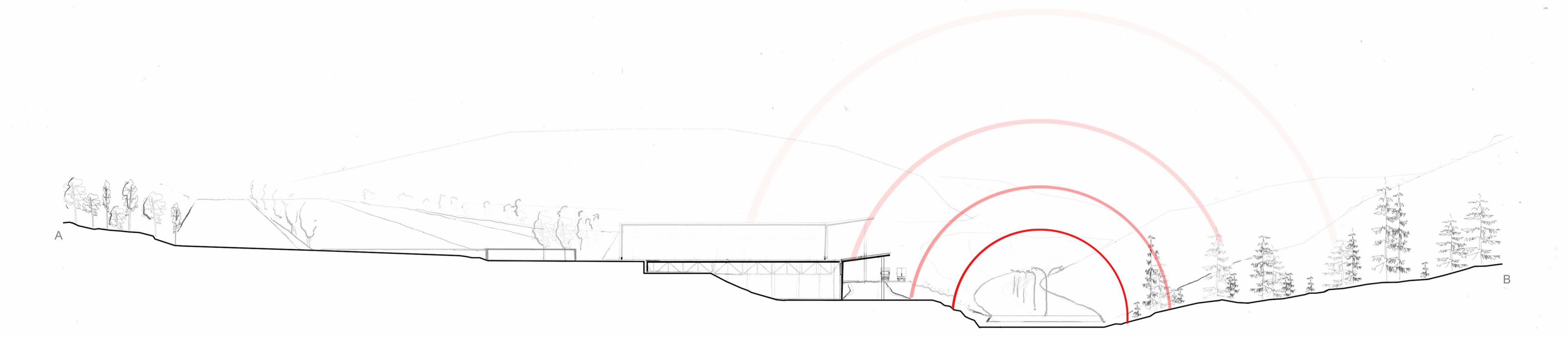
The Skjeggerud plot is a former landfill for soil and clay masses. The area currently has the status of contaminated ground with findings of arsenic, chromium and copper. With climate change, it is in any case necessary that the site is cultivated and secured so that the pollution does not spread. This can be solved by terracing the landscape and by applying an impermeable layer over the filling masses.
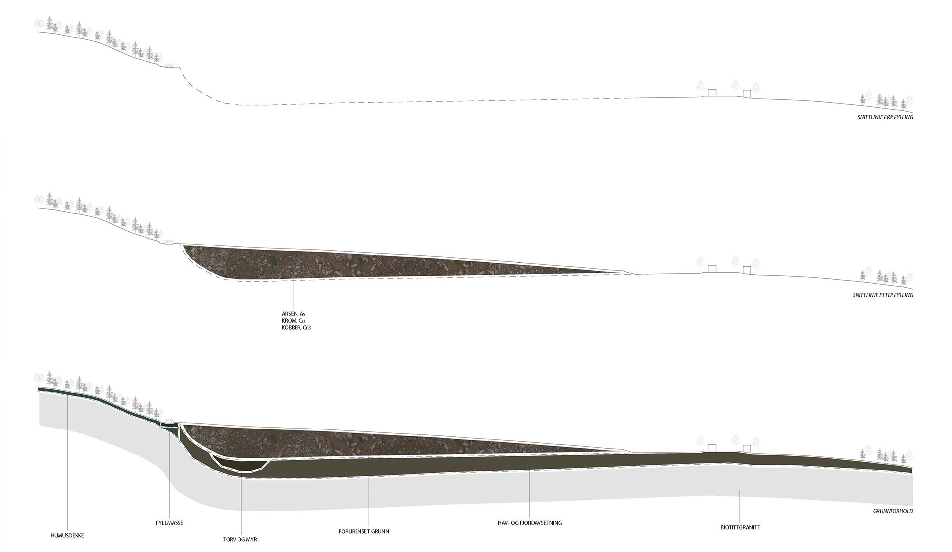
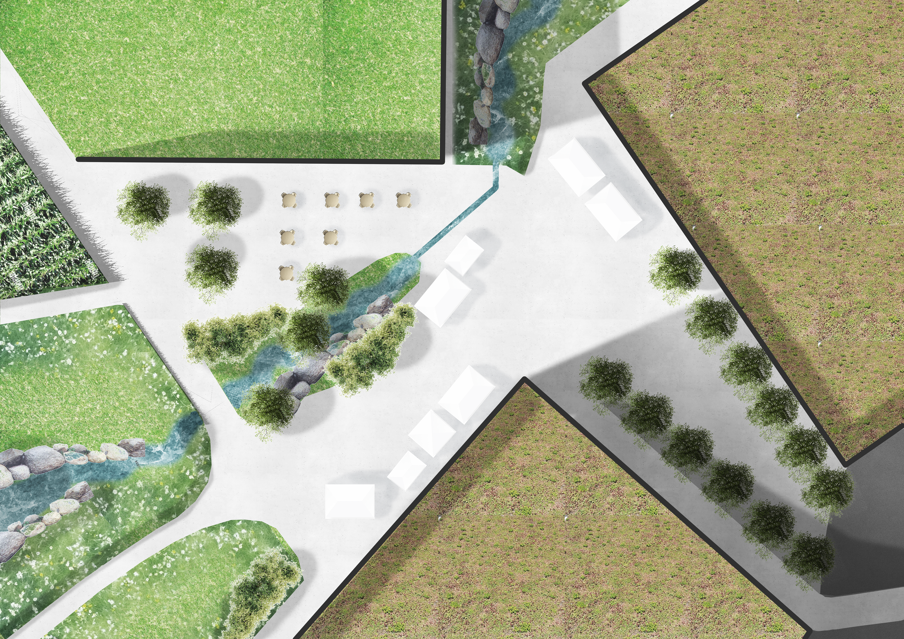
Since the plot is contaminated, the area must be terraced before the rest is designed. The strategy is to carry the surface water with the stream on the left side before it collects in a pond at the bottom.
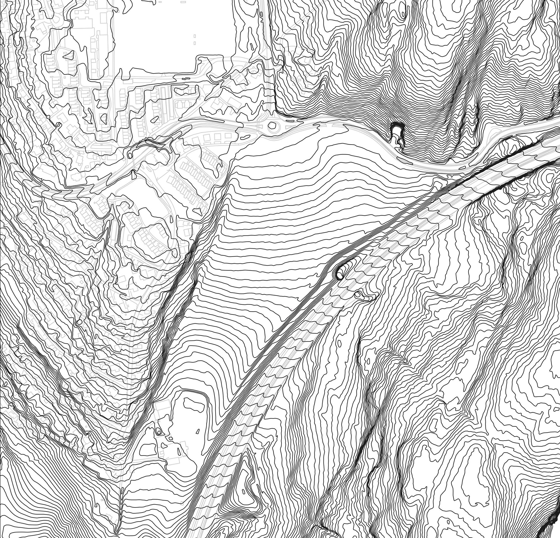
Contours before and after:
BAMA as a scientific hub and meeting point
By developing the social impact Bama could have on Tranby`s inhabitants we propose both research centers for food production and social activities such as foodmarkeds and cafees. The most prominant element for the users is the park interweaving the factories with the peri-urban settlements. The park is a network of fields and acers and scenic walks along it. To grasp the typical landscape of Lier the park invites people to use the cultural landscape for recreational walks.
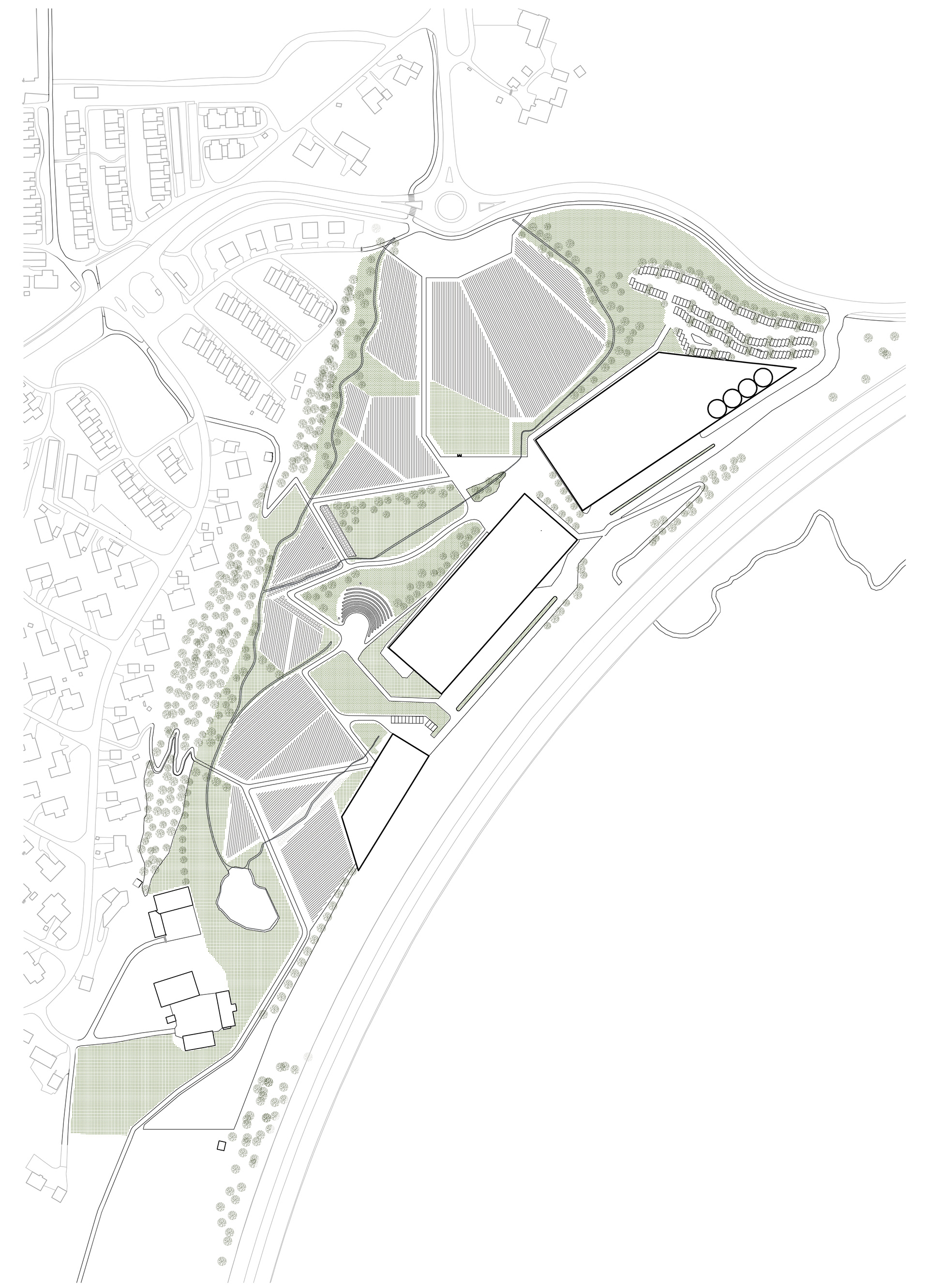
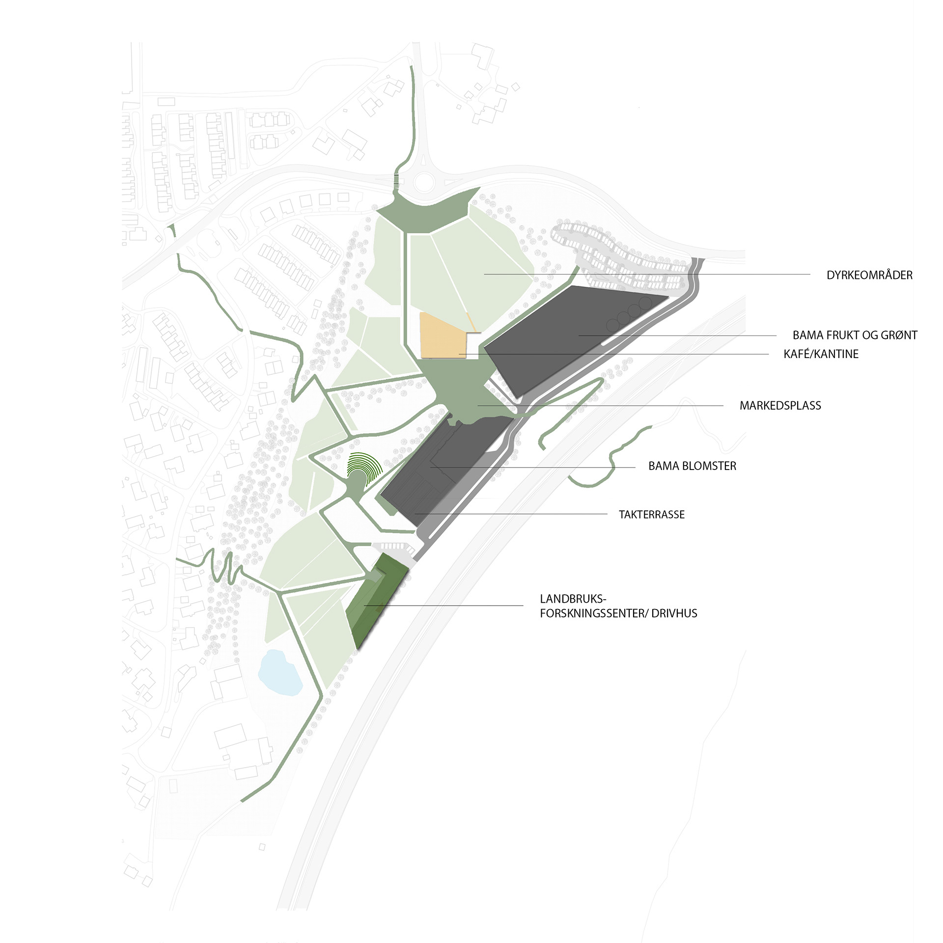
Bama as a division between E18 and Tranby
Tranby is, with its close proximity to the highway E18, an attractive place for industries. With this project we want to enlighten how large-scale corporations also can function on a human-scale and with local affilation. This should be a part of the municipalitys strategy for buisness development.